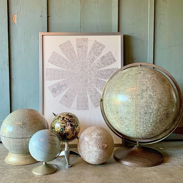
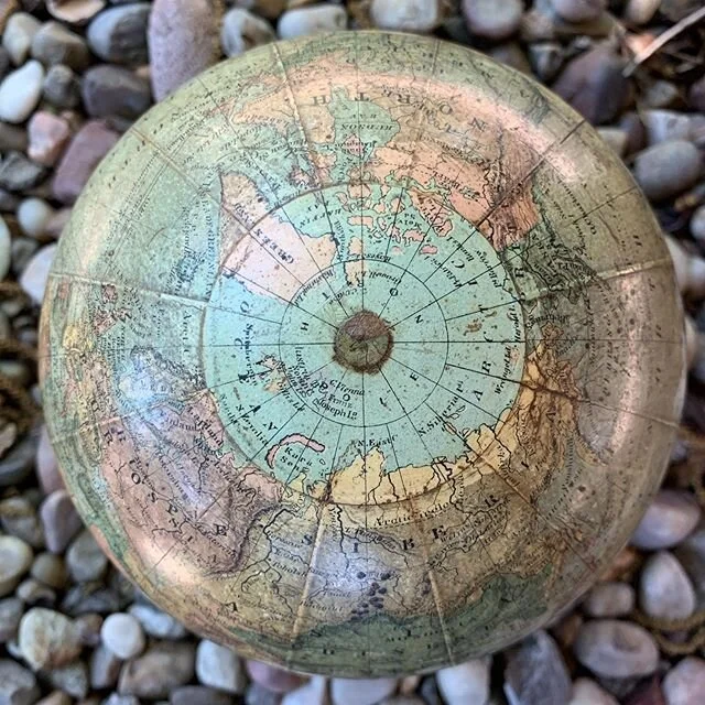
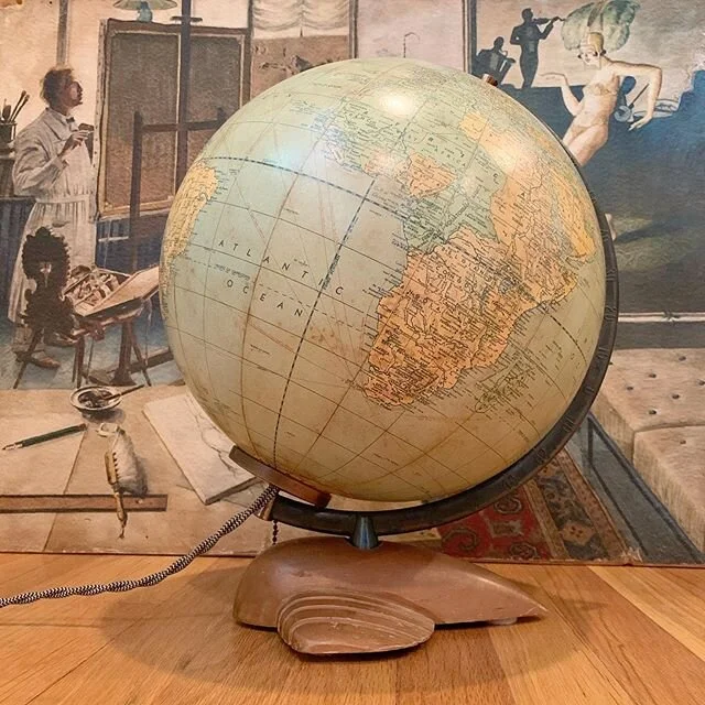
Current globe inventory, reference materials, assorted vintage finds, Instagram images and blogs about our shopping trips abroad can all be found below. If for some reason you can’t find what you’re looking for feel free to contact us and we’ll get right on it!
Recent Treasures
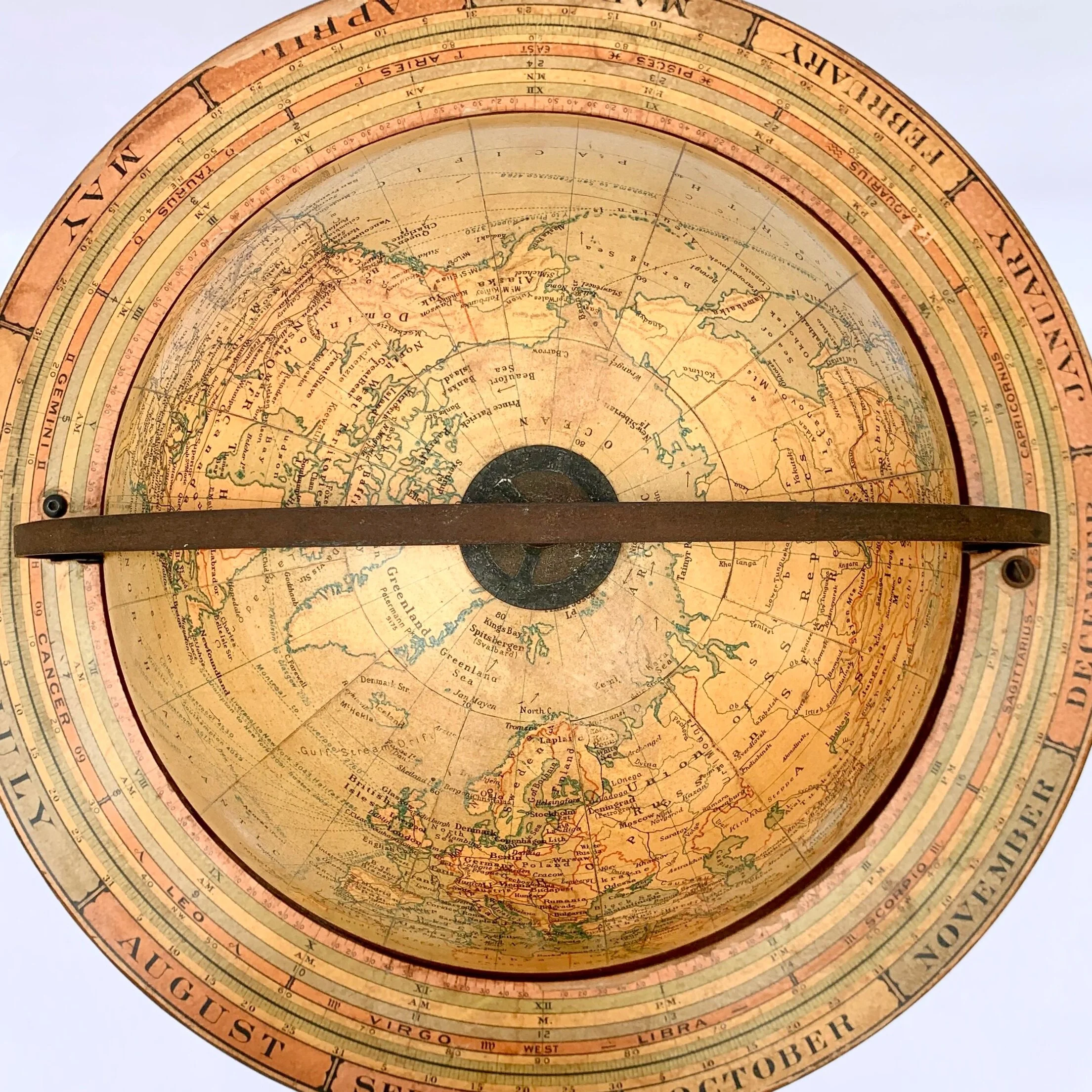
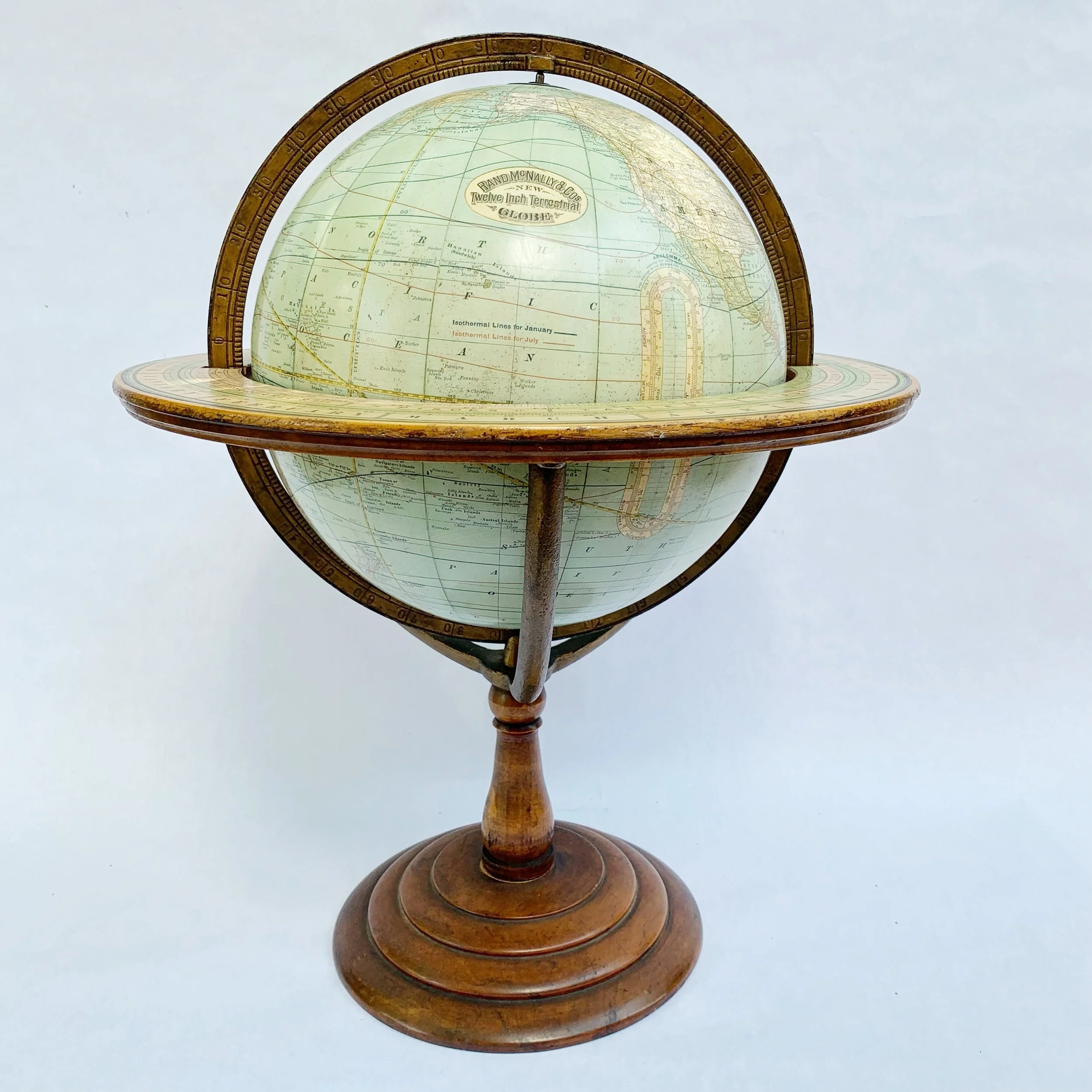
This elegant table globe is an example of the superb craftsmanship which elevated Rand McNally to be one of the great Chicago Globe makers of the late 1800's and early 20th century. Attention to detail is evident throughout, highlighting superb engraving skills of the past.
Description:
Made up of twelve copper plate engraved and hand applied paper gores over a plaster orb. This model would have been one of the top of the line variants. Mounted into a brass numeric engraved full meridian and set on a turned wood base. Diameter of the orb is 12 inches, 17.5 inches with the horizon ring. Total height of about 22.5 inches. Very well preserved with minor wear appropriate for its age. Warm patina.
History of the Globe Maker:
Rand McNally & Co. 1856 (1880 globe production) - current, Chicago
William Rand opens his first print shop in 1856, hires McNally, an Irish Immigrant, in 1858. In 1868, the two establish a partnership and the name Rand McNally & Co. As a print shop they produce the newspaper for the Chicago Tribune as well as timetables, travel guides and tickets for the fast growing railroad industry. In 1872, the company pioneered cerography, an innovative wax-engraving print technique, enabling to follow world changes in print quickly and more economically. As a result, event though not having made globes themselves until 1880, by the end of the late 1800’s Rand McNally produced globe gores not just for their own models, but for many of the other Chicago Globe makers. Rand McNally is best known for their travel maps but also still produces globes to this day, mainly for the educational market.
Condition:
This globe has been well maintained and is in very good condition for its age. Colors are rich, details crisp. Soiling is minimal on both the orb and the horizon ring. One tiny blemish spot over Germany, but otherwise the globe is in superb condition. Felt pads have been added to help hold the meridian tightly in the horizon ring. Please see pictures for detail.
Age of the Globe:
The globe is dated 1891 and shows the political borders of the period. Dakota divided into North and South (1889), Indian territory in Oklahoma shown (1891) but Rhodesia is not yet established (1895).
SKU - 0424RMFM
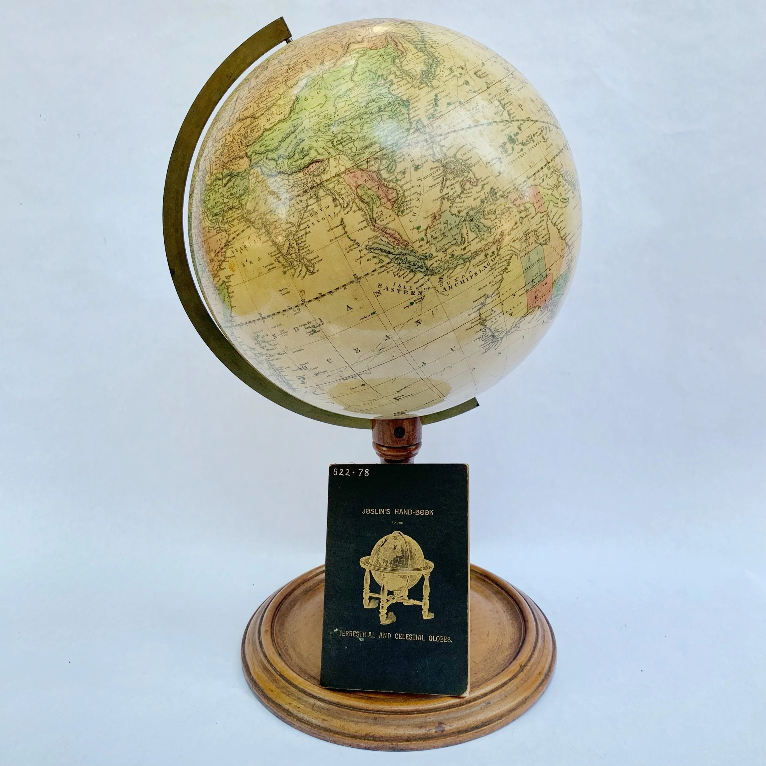
This Joslin’s terrestrial globe presents the world of the early 1890’s in wonderful detail. One can view the German, Austro-Hungarian, Russian and British Empire and its colonies throughout the world, especially in Africa. The Turkish Empire is well documented, expanded throughout what is today Syria, Greece and beyond. The discovery of colonies and countries no longer in existence today will ensure hours of entertainment.
This sphere is truly a splendid piece in design and content. No matter where displayed, it will demand attention.
Cartouche reads as follows:
Joslin's TERRESTRIAL GLOBE containing all THE LATE DISCOVERIES and GEOGRAPHICAL IMPROVEMENTS also the Tracks of the most celebrated circumnavigators, Compiled from Smith's new English globe, with additions and improvements by Annin & Smith. Revised by G.W. Boynton. Manufactured by Gilman Joslin, Boston.
Description:
Made up of twelve copper plate engraved, hand-colored and hand applied paper gores over a plaster orb. Mounted into a brass numeric engraved half meridian and set on a turned wood base. Diameter of the orb is 12 inches with the total height at about 22.5 inches. Very well preserved with minor wear appropriate for its age. There is a small piece of clear tape over a portion of the Iberian peninsula as seen in the photos. Warm patina. The meridian has a slight wobble as it sits in the base but a simple wedge will hold firm.
As an added bonus, the original handbook is included with purchase. The booklet features a summary of how to use your globe and a listing of the full line up of models and variations available at the time.
History of the Globe Maker:
Trained as a wood turner and looking-glass maker, Gilman Joslin (1804-1886) went to work for pioneering Boston globe maker Josiah Loring in 1837. He took over Loring’s business by 1839, and that year he issued the first globes under his own name, a terrestrial and celestial pair 6” in diameter. By mid century, Joslin employed three men and two women and boasted a 3-horsepower steam engine for his production. The women more likely applied the paper gores to the spheres. Joslin was eventually succeeded by his son William, and their firm produced globes of various sizes through the end of the 19th century. Joslin worked in many fields in addition to making globes: he was one of the first Americans to make a daguerreotype and was engaged in shipbuilding.
Age of the globe has been based on political borders displayed, which are as follows:
Dakota divided into North and South (1889), Indian territory in Oklahoma shown (1891) but Rhodesia is not yet established (1895). There are numerous inconsistencies such as Tasmania still being shown as Van Diemen’s Land although that name changed in the late 1850s. This is most likely a result of using much older plates and only updating the areas of most interest in the US and Europe.
SKU - 0424JOSLINTERR91
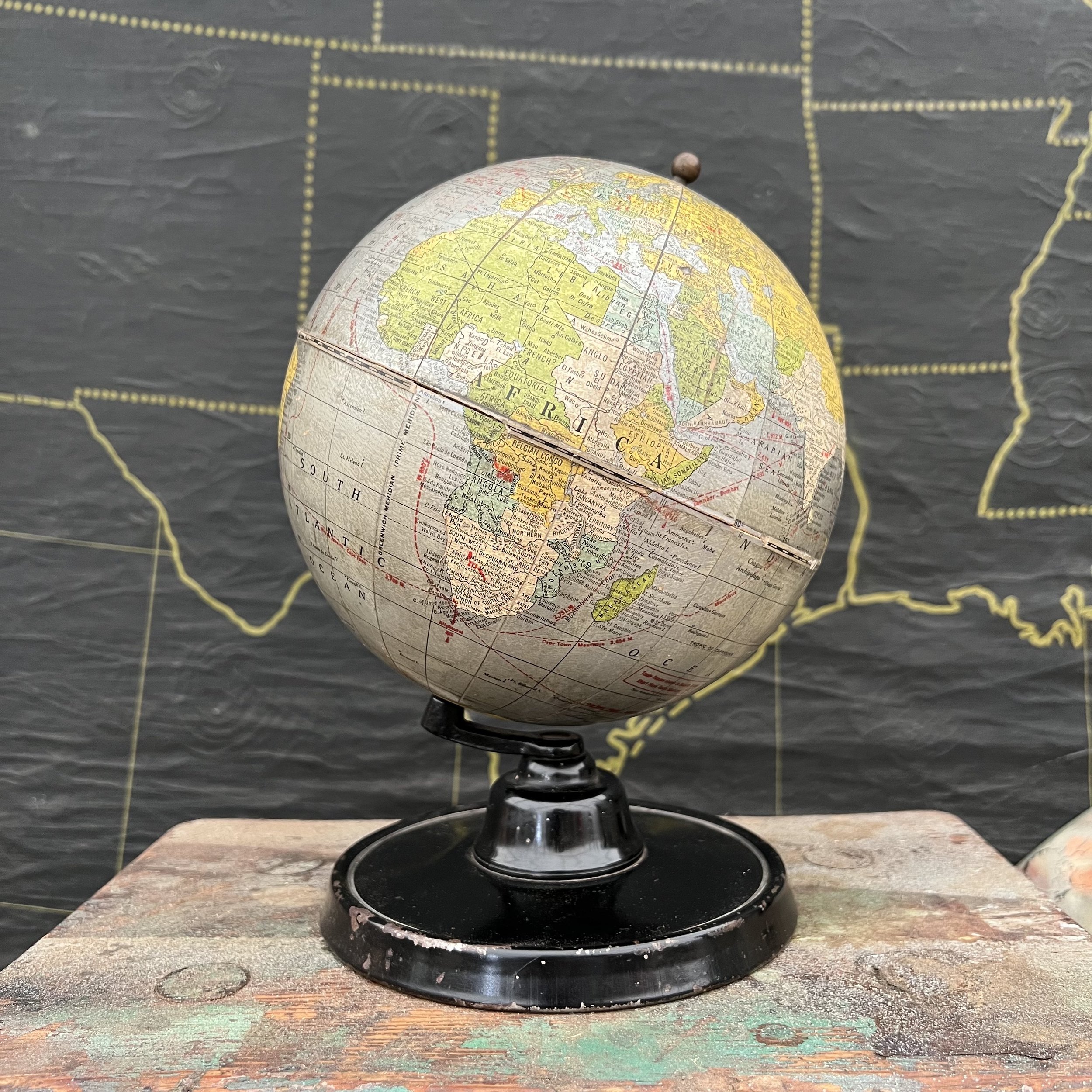
A desirable 7” terrestrial globe with silver oceans and machine age flair made by the George F. Cram Co. circa 1936. Because of their courage to experiment with cutting edge designs and materials, Cram’s offered some of the most unique globes of the early 20th Century. Highly regarded by collectors worldwide, this stunning globe with silver oceans is one of Cram’s finest pieces. The production of silver models lasted for only a few years and halted in the 40’s due to difficulties with maintaining the silver color.
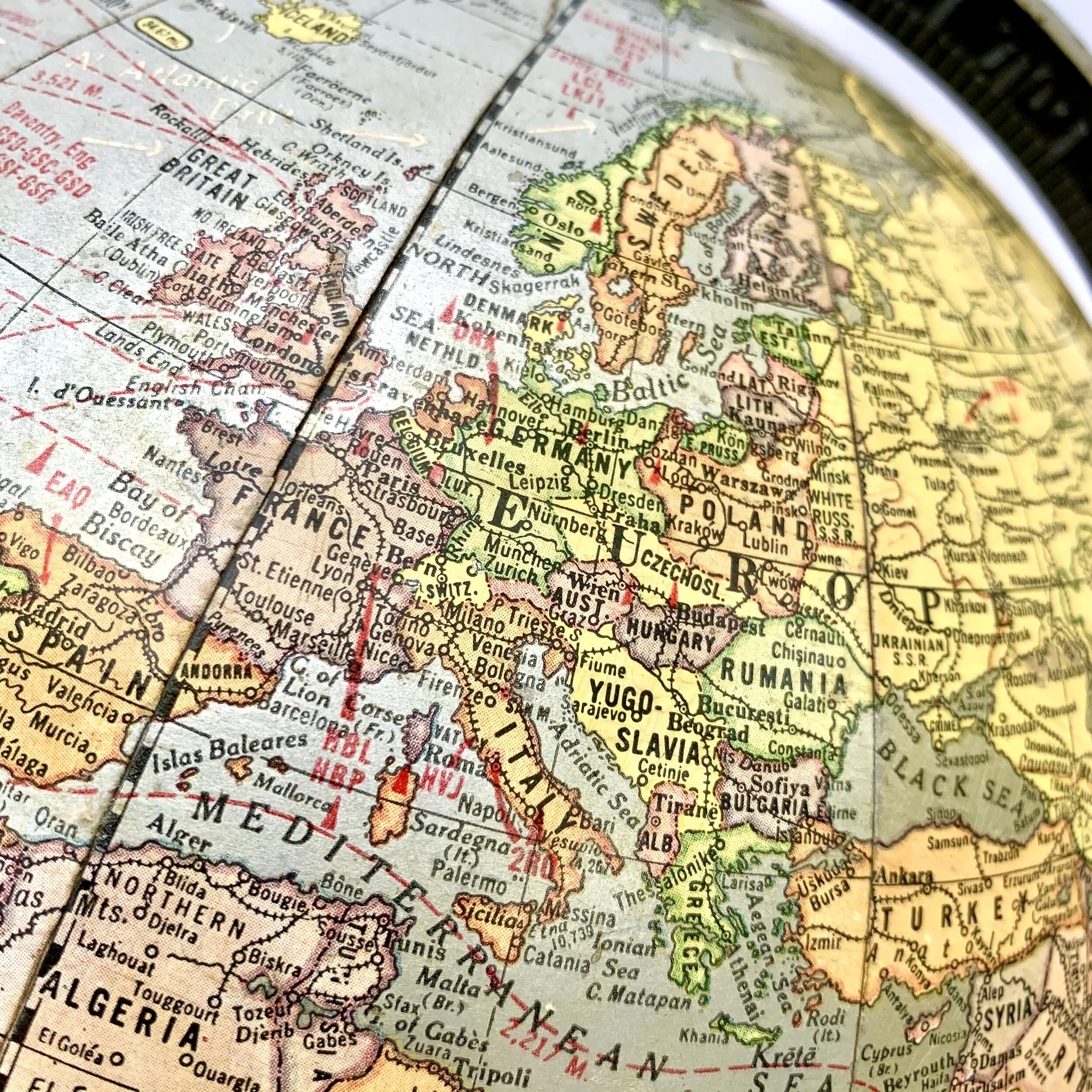
To find this 7” globe in any condition is rare but luckily this one is in fair shape. The globe does have some wear as can seen in the photos. The most obvious issue is minor separation of one gore near the equator and a few sections of missing equator tape. Otherwise, it is brilliant in color and crisp in detail. This model shows the political borders of 1935 but was actually produced in 1936. The cartouche indicates Indianapolis, Indiana to be the location of the company, but Crams did not relocate its production to Indiana until 1936. Political borders detailing the change of Persia to Iran (1935- both shown), while Italian East Africa is not yet visible.
SKU: 11227CRSIL36
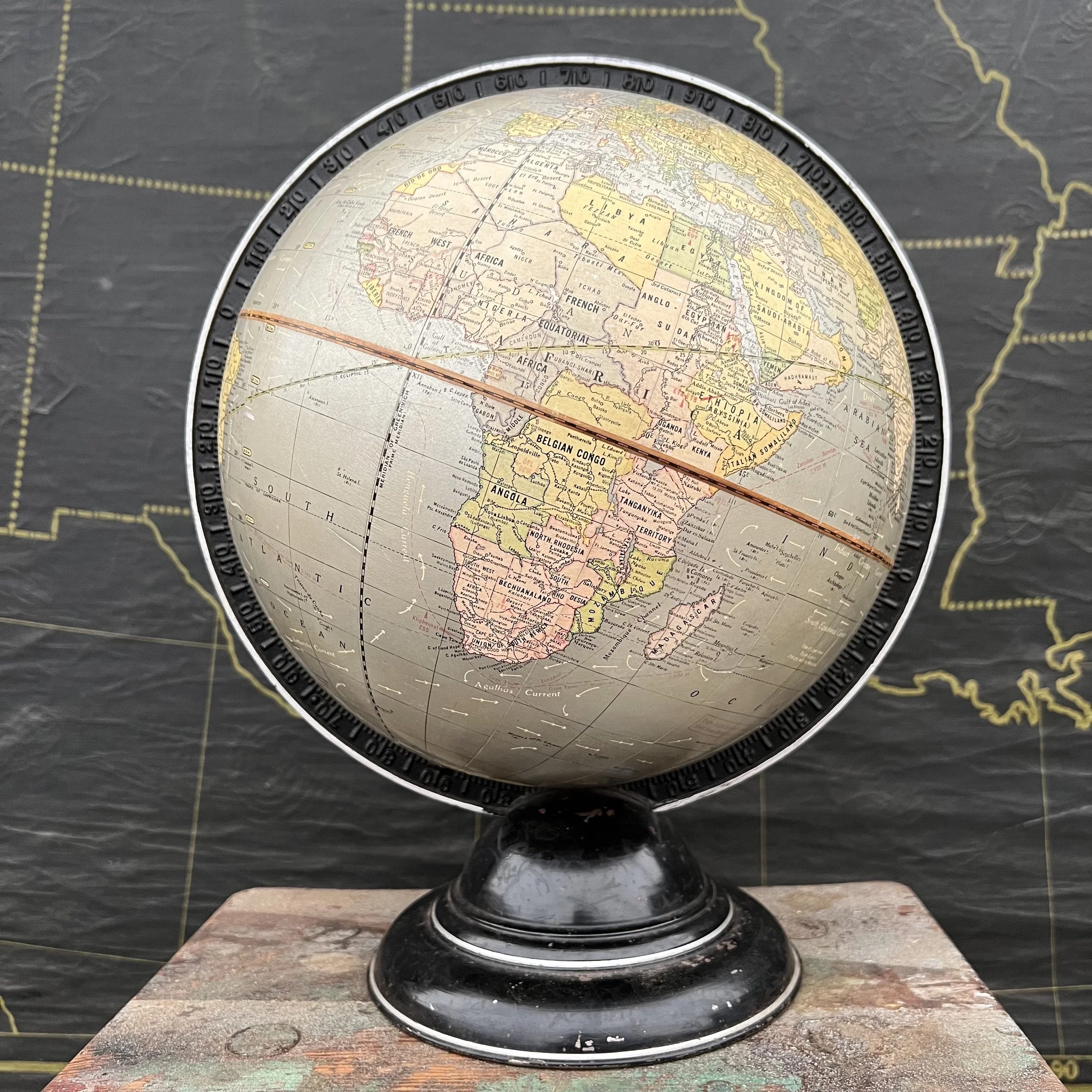
A desirable 10.5” terrestrial Globe by the George F. Cram Co. circa 1936 with silver oceans and machine age flair. Because of their courage to experiment with cutting edge designs and materials, the George F Cram Company offered some of the most unique globes of the early 20th Century. Highly regarded by collectors worldwide, this stunning globe with silver oceans is one of Cram’s finest pieces. The production of silver models lasted for only a few years and halted in the 40’s due to difficulties with maintaining the silver color.
To find this globe in any condition is challenging, luckily this one is in great shape! Nearly blemish free, the globe does have some minor wear as is expected of a globe of this age. Otherwise, it is brilliant in color, crisp in detail with a beautiful full mounting in superb condition. This model shows the political borders of 1935 but was actually produced in 1936. The cartouche indicates Indianapolis, Indiana to be the location of the company, but Crams did not relocate its production to Indiana until 1936. Political borders detailing the change of Persia to Iran (1935- both shown), while Italian East Africa is not yet visible.
SKU: 1122105CRSIL36
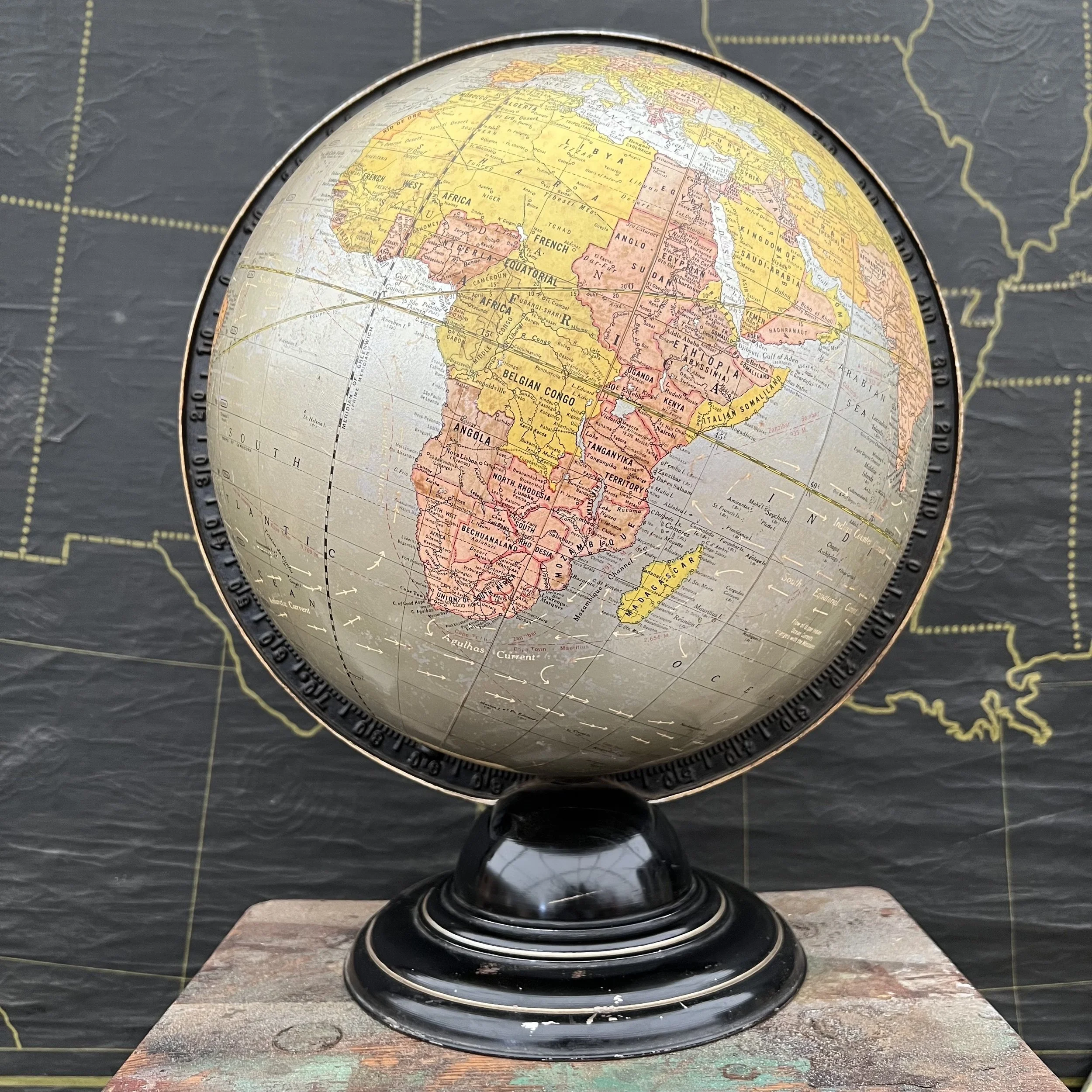
A desirable 12” terrestrial Globe by the George F. Cram Co. circa 1936 with silver oceans and machine age flair. Because of their courage to experiment with cutting edge designs and materials, the George F Cram Company offered some of the most unique globes of the early 20th Century. Highly regarded by collectors worldwide, this stunning globe with silver oceans is one of Cram’s finest pieces. The production of silver models lasted for only a few years and halted in the 40’s due to difficulties with maintaining the silver color.
To find this globe in any condition is challenging, luckily this one is in great shape! Nearly blemish free, the globe does have some minor wear as is expected of a globe of this age. Otherwise, it is brilliant in color, crisp in detail with a beautiful full mounting in superb condition. This model shows the political borders of 1935 but was actually produced in 1936. The cartouche indicates Indianapolis, Indiana to be the location of the company, but Crams did not relocate its production to Indiana until 1936. Political borders detailing the change of Persia to Iran (1935- both shown), while Italian East Africa is not yet visible.
SKU: 112212CRSIL36
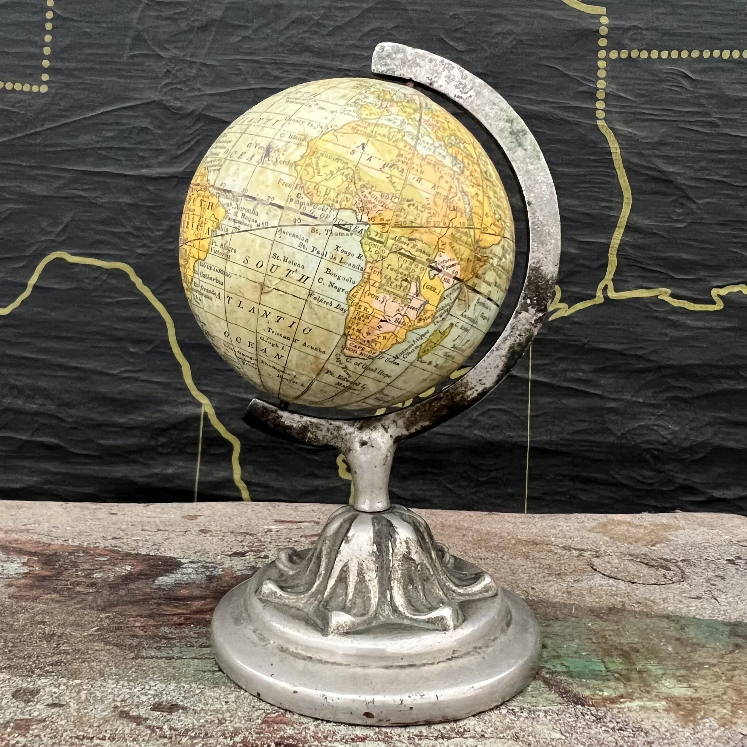
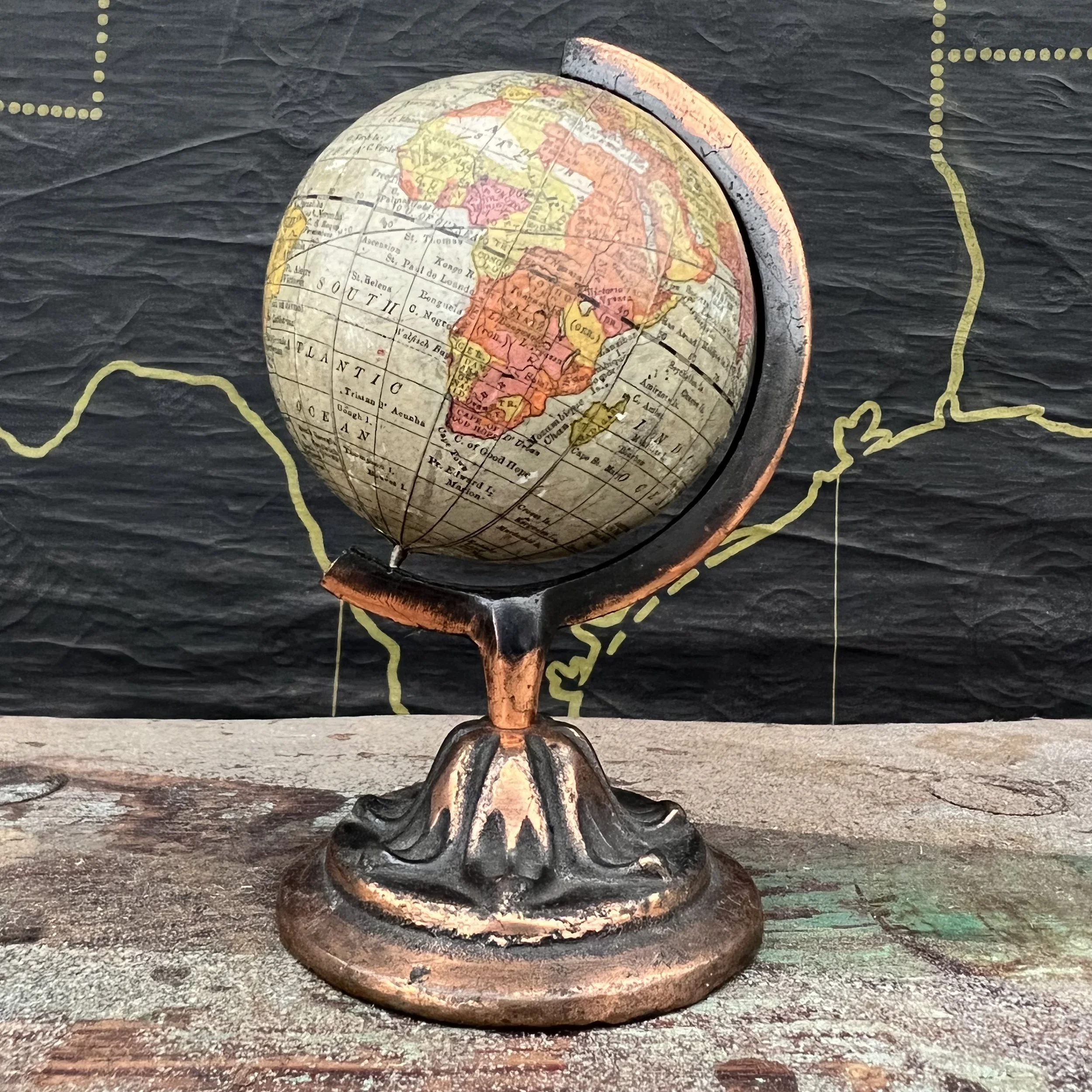
This petite Globe is a fine example of superb craftsmanship which elevated Rand McNally to be one of the great Chicago Globe makers of the late 1800’s and early 1900’s. This particular model is even dated 1891. Attention to detail is evident throughout the map in spite of being petite. The perfectly aged patina provides a warm glow and highlights superb map skills of the past.
This globe offers visual history by displaying Empires one can only read of today. Austro-Hungarian and Ottoman Empire, German colonies, Constantinople, Christiana, St. Petersburg and a young United States with Indian Territory are identified, just to name a few. Indeed, this is a superb model with a well maintained map. A true masterpiece of an era long gone!
History of the Globe Maker:
Rand McNally & Co. 1856 (1880 globe production) – current Chicago William Rand opens his first print shop in 1856, hires McNally, an Irish Immigrant, in 1858. In 1868, the two establish a partnership and the name Rand McNally & Co. As a print shop they produce the newspaper for the Chicago Tribune as well as timetables, travel guides and tickets for the fast growing railroad industry. In 1872, the company pioneered cerography, an innovative wax-engraving print technique, enabling to follow world changes in print quickly and more economically. As a result, event though not having made globes themselves until 1880, by the end of the late 1800’s Rand McNally produced globe gores not just for their own models, but for many of the other Chicago globemakers. Rand McNally is best known for their travel maps but also still produces globes to this day, mainly for the educational market.
Description:
The orb itself is covered with 12 individual, hand mounted paper gores. The map has beautiful coloring with a wonderfully aged patina. The petite globe is mounted into a cast metal non-numeric half meridian with a nickel finish. Diameter of the globe itself is 3 inches with a total height of 5.75 inches.
Condition:
This globe has been well maintained and is in good shape! Colors are rich, details crisp. Soiling is minimal but present. A small piece of gore is missing near the South Pole. The mount shows some wear consistent with age. Please see pictures for detail.
The age of the Globe has been dated 1891 and displays the following political borders: Europe: The Austro Hungarian, Ottoman, Russian and German Empire are identified as well as the Metropolitan cities of Christiana, Constantinople, St Petersburg and more. Middle East-Asia: The extent of the Ottoman Empire is evident. The Arabian Peninsula is identified as such, no Saudi Arabia, Iran, or Iraq. Africa: German Colonies are shown (lost at the treaty of Versailles post WW1), Kongo Free State is identified (became Belgian Congo in 1908). Egypt has yet to establish its borders and what is later Libya is identified as Tripoli instead. Orange Free State is visible. Rhodesia has not yet replaced Ndebele territory of Zimbabwe.
SKU- 1122RMCN91
This petite Globe is a fine example of superb craftsmanship which elevated Rand McNally to be one of the great Chicago Globe makers of the late 1800’s and early 1900’s. This particular model is even dated 1891. Attention to detail is evident throughout the map in spite of being petite. The perfectly aged patina provides a warm glow and highlights superb map skills of the past.
History of the Globe Maker:
Rand McNally & Co. 1856 (1880 globe production) – current Chicago William Rand opens his first print shop in 1856, hires McNally, an Irish Immigrant, in 1858. In 1868, the two establish a partnership and the name Rand McNally & Co. As a print shop they produce the newspaper for the Chicago Tribune as well as timetables, travel guides and tickets for the fast growing railroad industry. In 1872, the company pioneered cerography, an innovative wax-engraving print technique, enabling to follow world changes in print quickly and more economically. As a result, event though not having made globes themselves until 1880, by the end of the late 1800’s Rand McNally produced globe gores not just for their own models, but for many of the other Chicago globemakers. Rand McNally is best known for their travel maps but also still produces globes to this day, mainly for the educational market.
Description:
The orb itself is covered with 12 individual, hand mounted paper gores. The map has beautiful coloring with a wonderfully aged patina. The petite globe is mounted into a cast metal non-numeric half meridian with a copper finish. Diameter of the globe itself is 3 inches with a total height of 5.75 inches.
Condition:
This globe has been well maintained and is in good shape! Colors are rich, details crisp. Soiling is minimal. The mount shows some wear consistent with age. Please see pictures for detail.
The age of the Globe has been dated 1891 and displays the following political borders: Europe: The Austro Hungarian, Ottoman, Russian and German Empire are identified as well as the Metropolitan cities of Christiana, Constantinople, St Petersburg and more. Middle East-Asia: The extent of the Ottoman Empire is evident. The Arabian Peninsula is identified as such, no Saudi Arabia, Iran, or Iraq. Africa: German Colonies are shown (lost at the treaty of Versailles post WW1), Kongo Free State is identified (became Belgian Congo in 1908). Egypt has yet to establish its borders and what is later Libya is identified as Tripoli instead. Orange Free State is visible. Rhodesia has not yet replaced Ndebele territory of Zimbabwe.
SKU- 1122RMCNBR91
Upcoming Trips
I spent two weekends hitting my favorite shops and markets in Japan for the second time in 2018. It was a brilliant way to end another year of travels. I’ll walk you through where I shopped, what I saw, and what I was able to buy!
This is the globe that will command everyone’s attention! The massive 32” lighted Diplomat by Replogle is housed in a custom chrome base that really sets it apart from every other globe. The 80’s have never looked so good.
Description:
Made up of twelve hand applied paper gores over a plastic orb; this model would have been one of the largest commercially available globes on the market. The internal light has 3 levels of brightness that are controlled by touching the full brass meridian. The massive orb rests in a custom made chrome base and likely sat proudly in the lobby of a bank or corporation. Diameter of the orb is 32 inches with an overall length of roughly 40 inches and a total height of about 48 inches. Very well preserved with minor wear appropriate for its age. Warm patina.
History of the Globe Maker:
Luther Replogle, a former sales rep for Weber Costello, began making globes in his basement with imported British map gores. The breakthrough for his company occurred in 1932, when he obtained the contract to produce commutative globes for the worlds fair in Chicago in 1933, distributed by Marshall Fields & Co. During WW2 Replogle did not keep up with the constant change of political borders and continued printing the maps of 1939 through the early 1940’s . However, to encourage customers to continue purchasing his globes, he offered coupons for globes to be updated for a minimal fee once WW2 has ended and political borders have been established.
In the 1950’s Replogle ventured out into producing a few very unique globes, such as the Surprise Globe, the Wonder World, as well as a Magnetic Air Race Globe Game and the Quiz Globe. It was an attempt to expand sales into the toy market while competing with well known Children’s tin globe makers such as J.Chein and Ohio Art. Today Replogle is one of the world’s largest Globe manufacture.
Condition:
This globe has a couple large blemishes where the top layer of paper map is missing; luckily all the damage is over the oceans. In addition, there are several small nicks in the map and some soiling throughout. All the hardware including the brass meridian, the power cord, and the custom chrome stand are in perfect condition. Please see pictures for detail.
Age of the Globe:
The globe shows the political borders of the mid-1980’s: The Soviet Union is holding on and Upper Volta has changed their name to Burkina Faso (1984) but Côte d’Ivoire is still shown as Ivory Coast. (1986)
Please inquire about delivery options as the size will limit shipping to freight options only.
SKU - 1225LRGCS